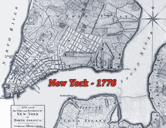
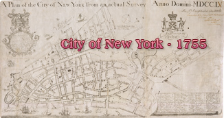
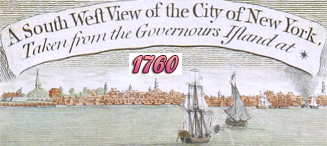
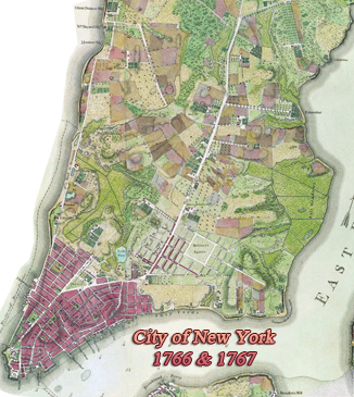
City of New York by Major Holland - 1776
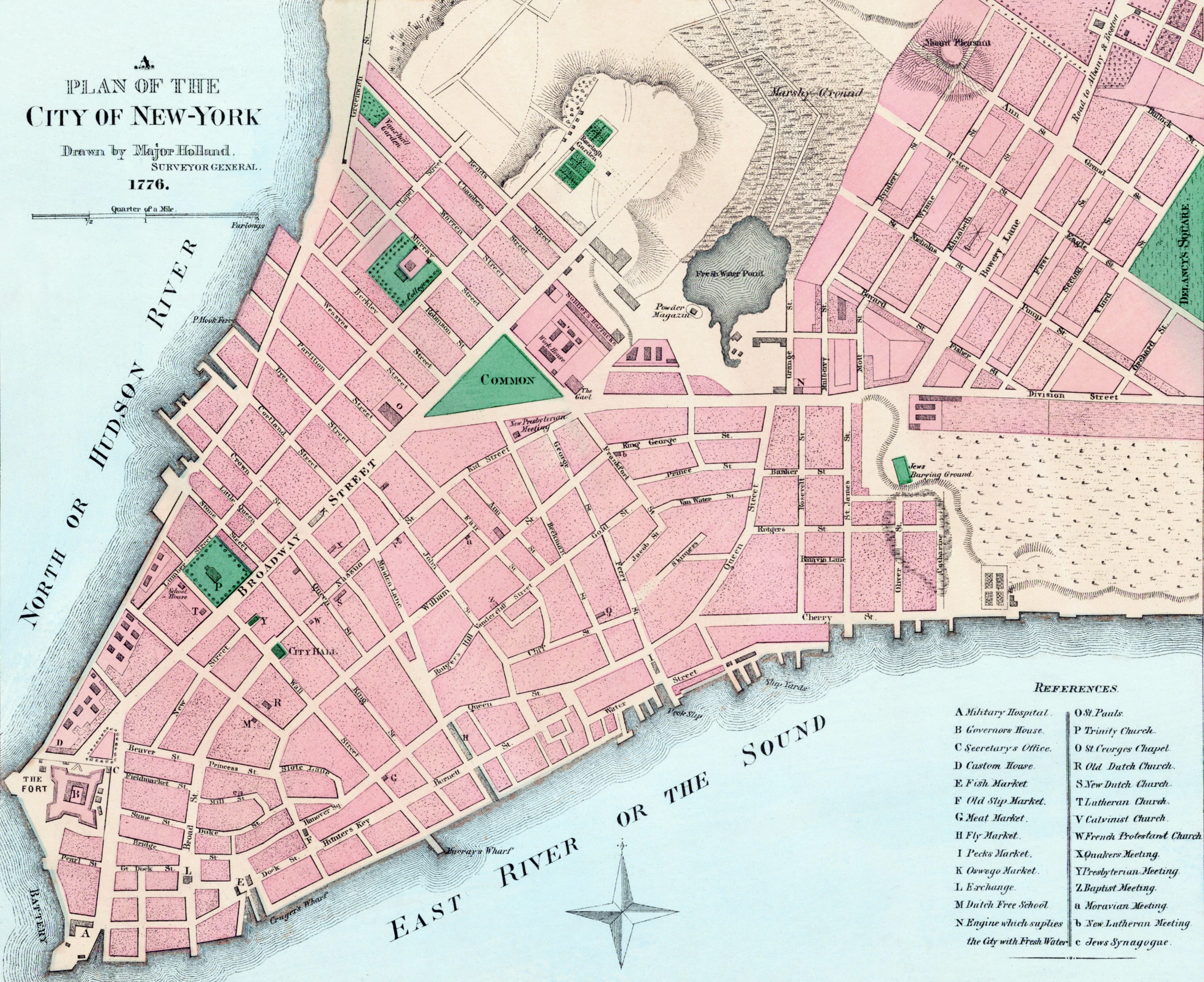
Plan of the City of New York drawn by Major Holland, Surveyor General, 1776. Reproduced by fac-simile and published by Henry Dunreath Tyler, 46 Wall Street, New York, in the late 19th Century. This map was presented to the Maine Historical Society in 1903. Source: Barry Lawrence Ruderman Antique Maps.
Samuel Johannes Holland (1728-1801) was a Dutch-born Royal Engineer and appointed Surveyor-General of North America in 1764. His Plan of the City of New York appeared as an inset map at the top of Thomas Jeffery's The Provinces of New York, and New Jersey, with part of Pensilvania, published in London in 1776.
Some British colonies in North America had been at war with Great Britain since 1775. The British invaded New York in September 1776 and days later there was a devastating fire in the City that destroyed several buildings.
The conflict ended in 1783. On December 4, Washington formally parts from officers at Fraunces Tavern, New York City. December 23, at Annapolis where Congress wass located, Washington submitted his resignation of his military commission as commander in chief.
|
Copyright © Geographic Guide - 18th Century Maps, City of New York. |
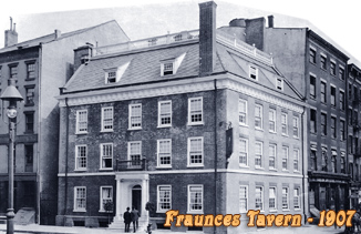
Fraunces Tavern was a place of many historic events in the 18th century.
City of New York by Major Holland - 1776