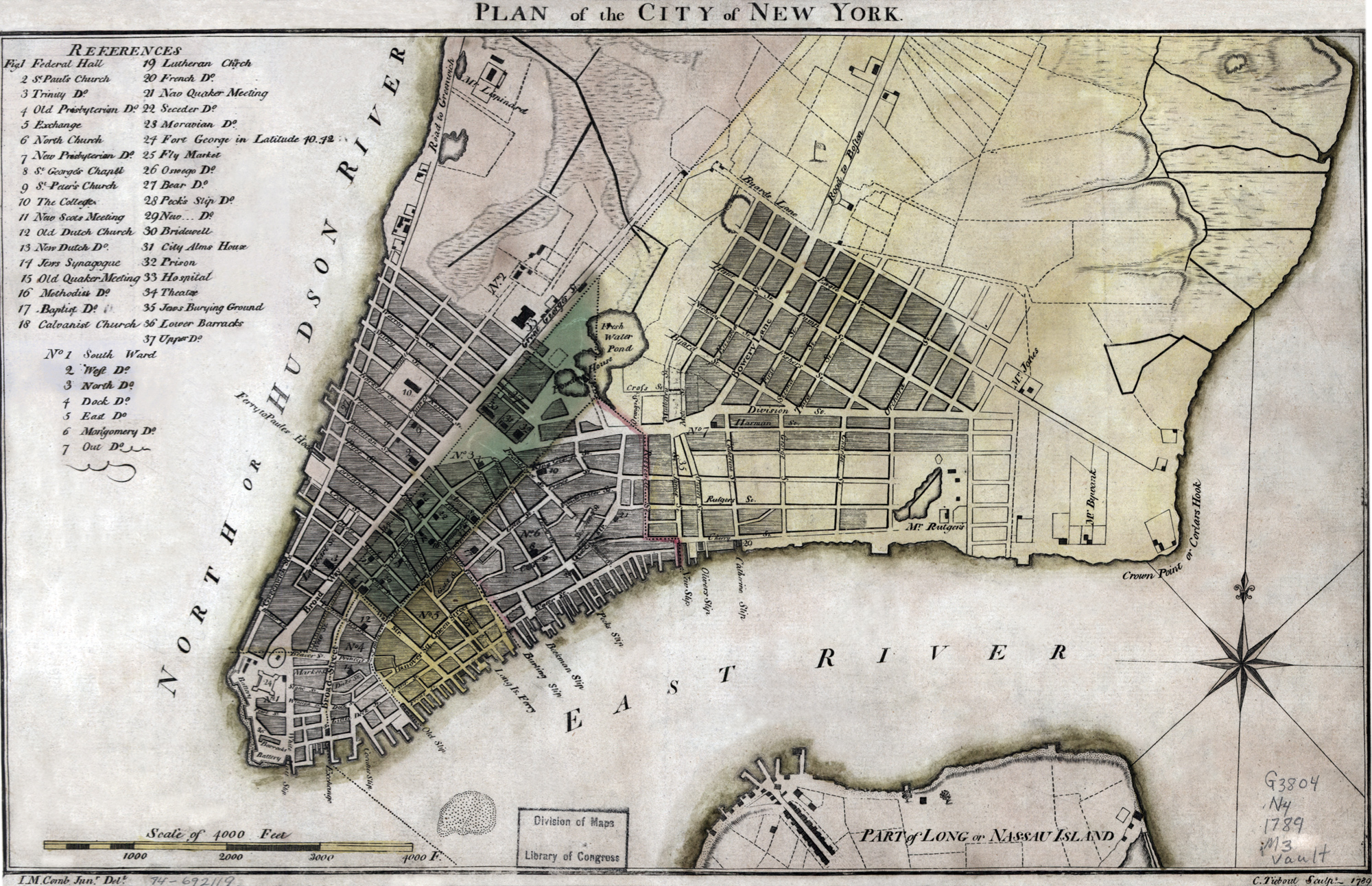
Historical Map of New York in 1789
Hand colored plan of the city of New York in 1789. Authors: John McComb (1763-1853) and Cornelius Tiebout (1777-1832). Wheat & Brun. Maps and Charts (1978 ed.). Original title: Plan of the City of New York. Source: Library of Congress Geography and Map Division. Below, enlargement of part of Manhattan.
Nature was an important issue to establish New York as a great metropolis. When the time came for North American colonies to sever their relations with the British Crown, the possession of Manhattan was fundamental in the contest. New York was destined to be the greatest commercial city and the largest manufacturing centre on the American side of the Atlantic.

More: Historical maps of New York City ►
|
Copyright © Geographic Guide - 18th Century NYC. Historic Maps. |

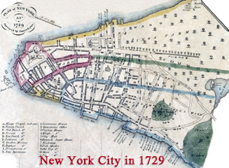
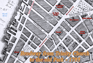
Enlargement of part of Lower Manhattan. Note: Great George Street and Broadway, became Broadway in 1794.
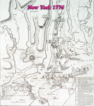
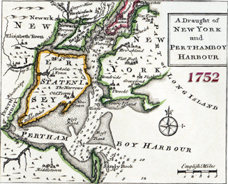
Plan of New York Island, with part of Long Island, Staten Island & east New Jersey, with disposition of both the armies, British and American.

Historical Map of New York in 1789