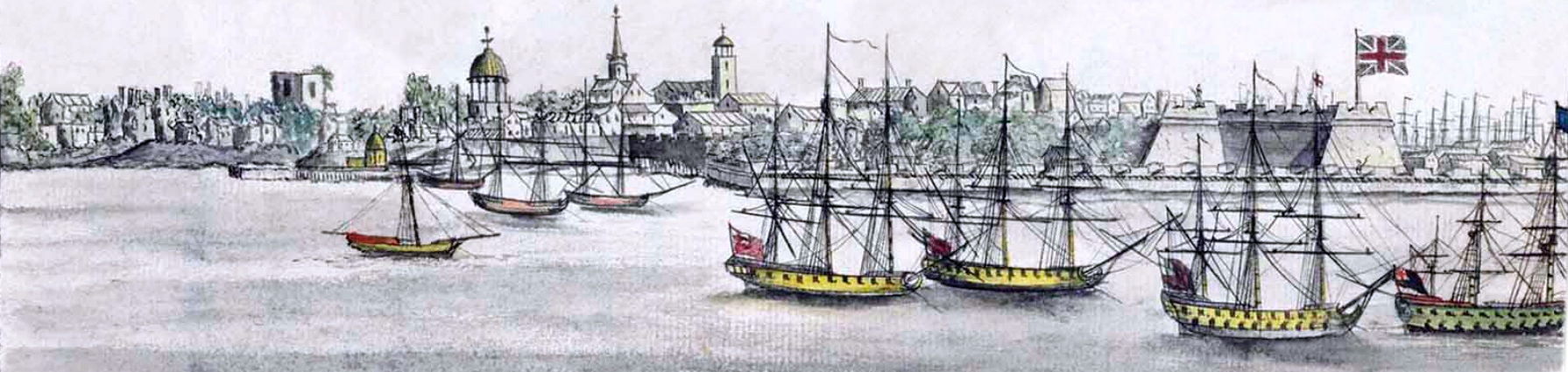
New York, Aftermath of the Great Fire of 1776
This is New York City in the Aftermath of the Great Fire of 1776, seen from the west side of the harbor, with the old Fort George on the right. Drawn from nature by Robert Raymond in 1776. Source: Tom Lecky, Christie’s. Calligraphic title: Journal and Remarks of the most particular Passages that happened on board the different Ships Sail’d in. by Robert Raymond. Commencing, May 13 1767.
Illustration was taken from the Maritime Journal of Warrant Officer Robert Raymond, written from May 13, 1767, to the evacuation on November 24, 1783. Raymond was eyewitness of many Revolutionary War events and lived ashore in New York for over a year, from 1782 to 1783, when the British troops evacuated the New York City.
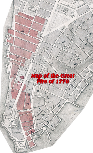
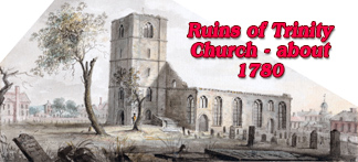
This historic watercolor above, Robert Raymond drew from nature in the Aftermath of the Great Fire of 1776, shows how this dramatic event ended, less than a week after the British occupied the City. The fire started on September 21, 1776, on the eastern side of Broadway, near Whitehall Slip. The flames crossed Broadway and burned the lower part of the city in a northwesterly direction, between Whitehall Slip and Barkley Street. The first Trinity Church and the Lutheran Church were among the historic buildings destroyed by the fire.

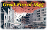
Another map of the Great Fire.
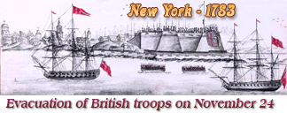
New York, Aftermath of the Great Fire of 1776
|
Copyright © Geographic Guide - 18th Century NYC. Historic Maps. |