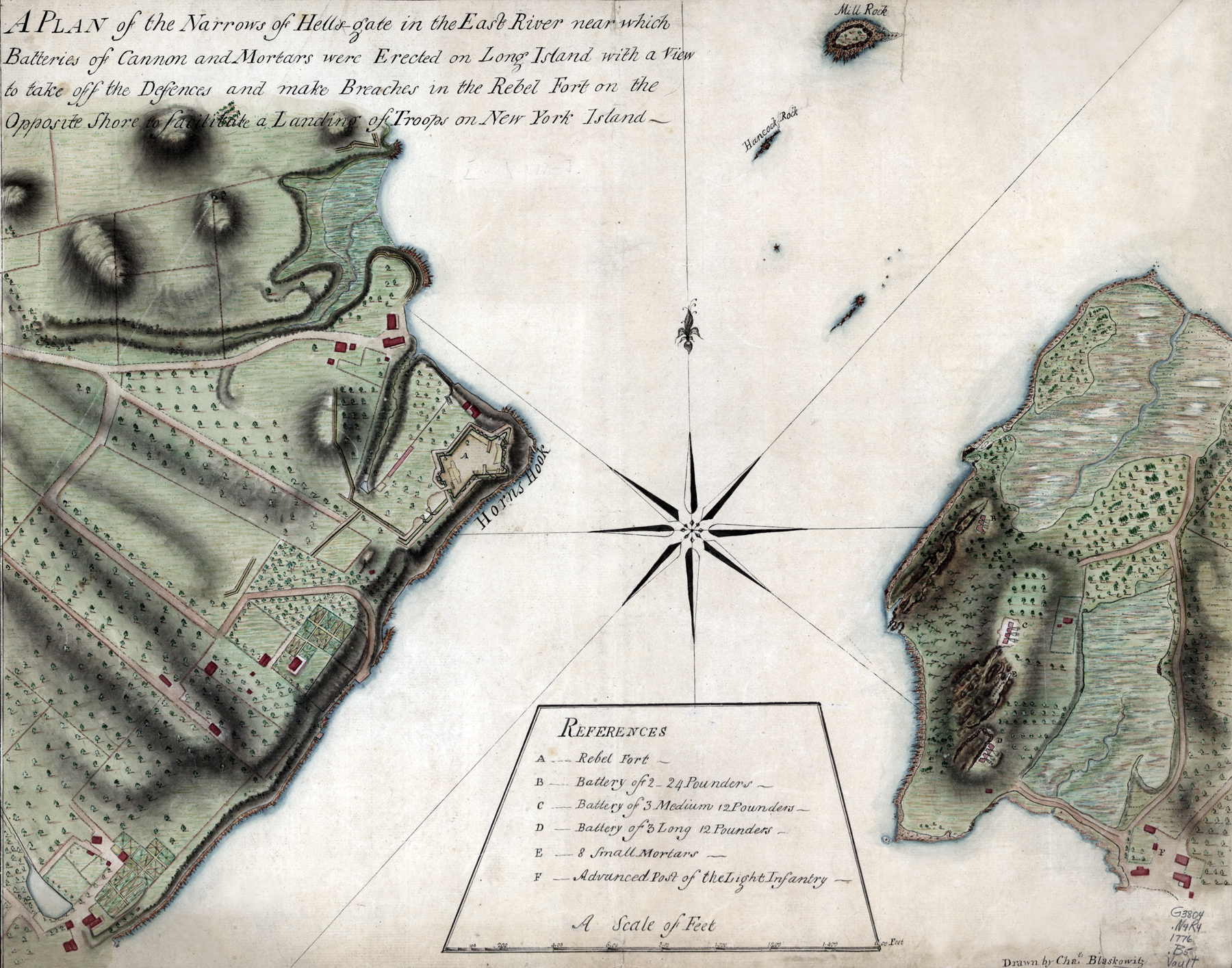
Map of the Narrows of Hells-Gate in the East River - 1776
Title: "A plan of the Narrows of Hells-Gate in the East River, near which batteries of cannon and mortars were erected on Long Island with a view to take off the defences and make breaches in the rebel fort on the opposite shore to facilitate a landing of troops on New York Island". Drawn by Charles Blaskowitz, 1776. Source: Library of Congress Geography and Map Division.
Hell Gate is a narrow strait in the East River in New York City. It separates Astoria, Queens from Randall's and Wards Islands. Horn's Hook Fort is on the left, on Manhattan Island.

More: Historical maps of New York ►
|
Copyright © Geographic Guide - Historic Maps 18th Century NYC. |

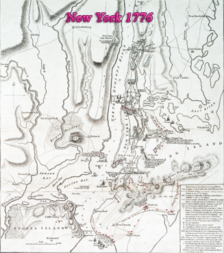
Plan of New York Island, with part of Long Island, Staten Island & east New Jersey, with disposition of both the armies, British and American.
Map of the Narrows of Hells-Gate in the East River - 1776
