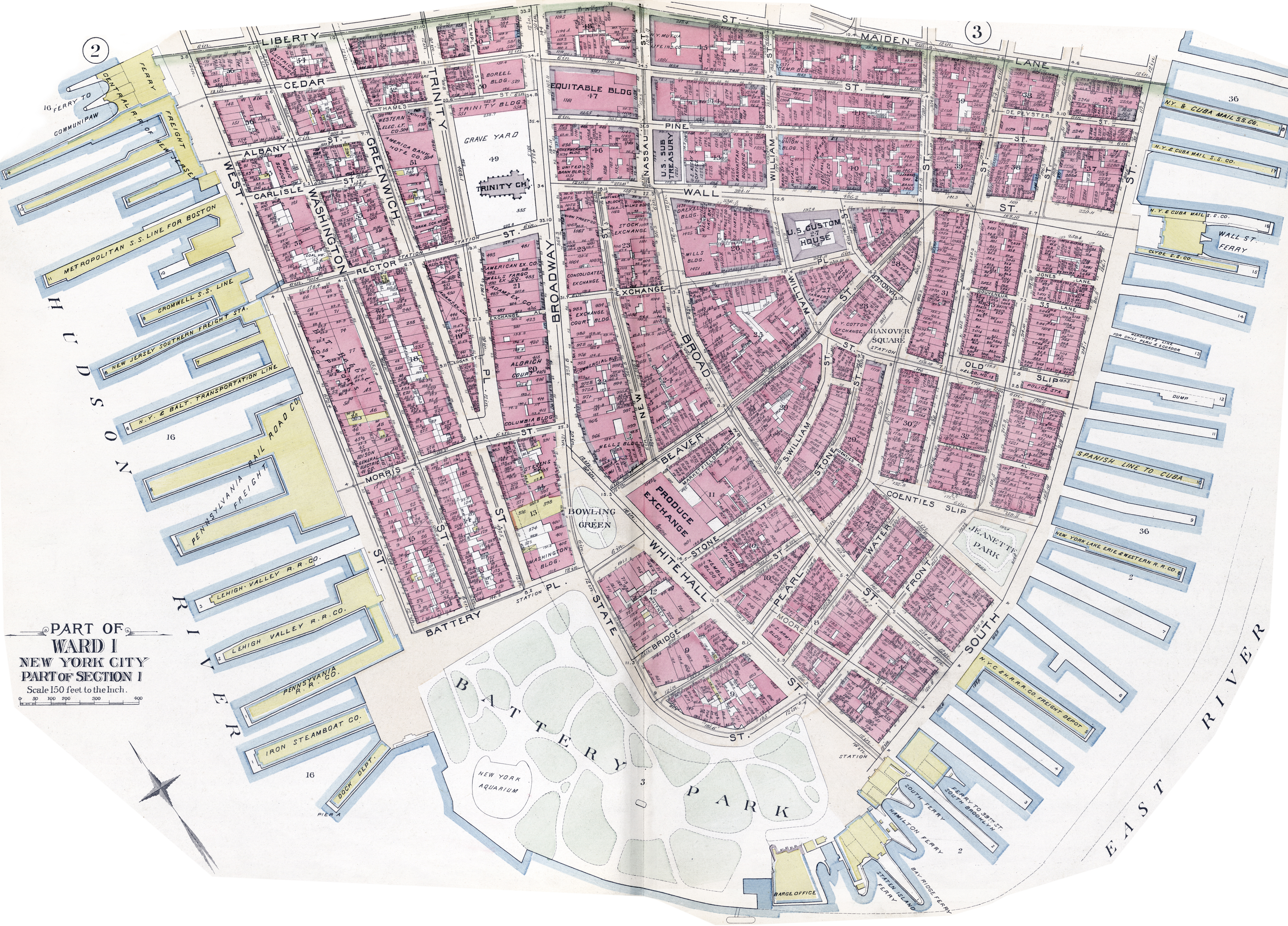
Lower Manhattan Map - 1894
 Map
of Lower Manhattan of 1894, from the Battery, on the south, to Liberty
Street and Maiden Lane to the north. From the Atlas of the City of New York,
Manhattan Island : from Actual Surveys and Official Plans by Geo. W. &
Walter S. Bromley, civil engineers. Published by G.W. Bromley & Co.
Philadelphia. Source: Library of Congress Geography and Map Division Washington,
D.C.
Map
of Lower Manhattan of 1894, from the Battery, on the south, to Liberty
Street and Maiden Lane to the north. From the Atlas of the City of New York,
Manhattan Island : from Actual Surveys and Official Plans by Geo. W. &
Walter S. Bromley, civil engineers. Published by G.W. Bromley & Co.
Philadelphia. Source: Library of Congress Geography and Map Division Washington,
D.C.
The map shows numbering and frontage of buildings in feet, ferries and wharfs, street names. Some historical buildings are identified, like the Barge Office, South Ferry, New York Aquarium and Pier A (Battery). Washington Building, Stevens House, Produce Exchange, Wells Building, Aldrich Court, Trinity Church, Trinity School, American Express Company, United Bank Building, Exchange Court Building, old Trinity Building, Boreel Building, Equitable Building, American Bank Note Co. U.S. Custom House, U.S. Sub-Treasury, Drexel Building, Stock Exchange and Wilks Building. Parks: the Battery, Jeanette Park and Bowling Green.
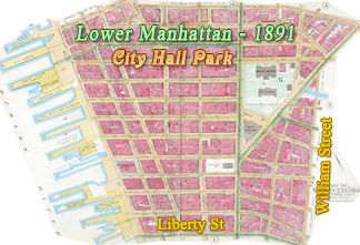
Fragment of the map above showing part of the Bowling Green area.

Lower Manhattan Map - 1894
|
Copyright © Geographic Guide - Historical maps of NYC. 19th Century. |
Click on image to enlarge.