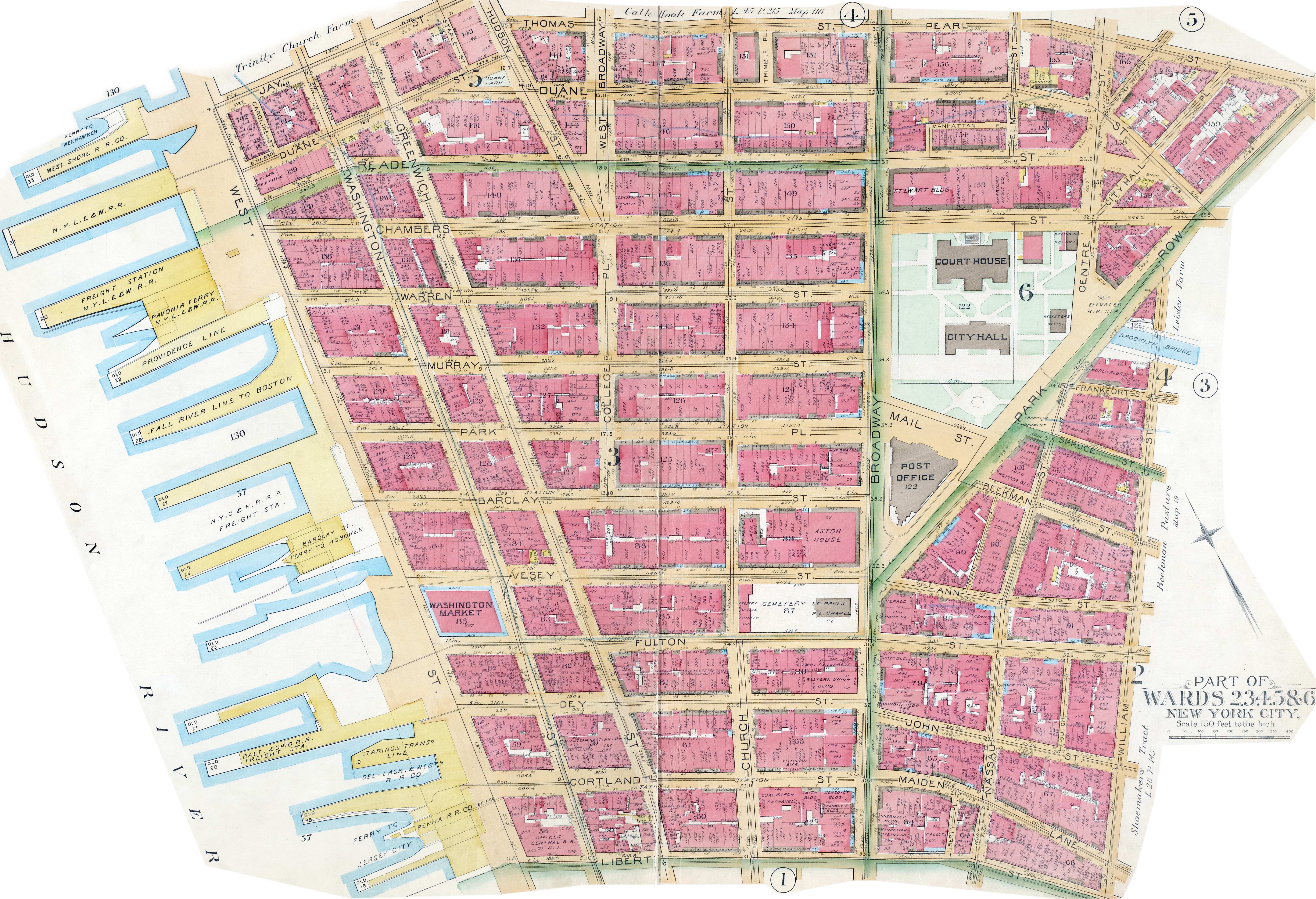
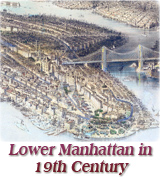
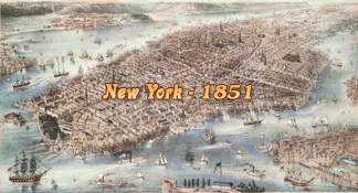
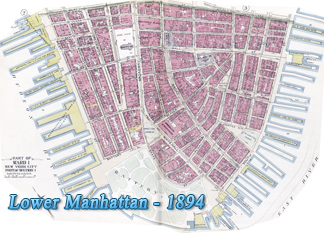
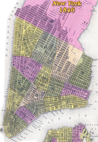
Lower Manhattan Map - 1891
 Map
of Lower Manhattan of 1891, from Liberty
Street, to the south, to Jay St., Thomas St. and Pearl St. to the north. William
Street to the east and the Hudson River to the west. From the Atlas of the City of New York,
Manhattan Island. from Actual Surveys and Official Plans by Geo. W. &
Walter S. Bromley, civil engineers. Published by G.W. Bromley & Co.
Philadelphia. Source: New York Public Library.
Map
of Lower Manhattan of 1891, from Liberty
Street, to the south, to Jay St., Thomas St. and Pearl St. to the north. William
Street to the east and the Hudson River to the west. From the Atlas of the City of New York,
Manhattan Island. from Actual Surveys and Official Plans by Geo. W. &
Walter S. Bromley, civil engineers. Published by G.W. Bromley & Co.
Philadelphia. Source: New York Public Library.
The map shows numbering and frontage of buildings in feet, ferries and wharfs, street names. Some historical buildings are identified, like City Hall, Court House, Registers Office, Post Office, Washington Market, Chemical Bank, Astor House, St. Paul Chapel, Western Union Building (Broadway), Manhattan Life Co., Herald, Park Bank, Potter Building, Times Building, Tribune, Sun, World Building and New Yorker Staats-Zeitung building, Coal & Iron Building (Cortland St.), Temple Court (Beekman St).

|
Copyright © Geographic Guide - Historical Maps of NYC. 19th Century. |
Lower Manhattan Map - 1891
Click on image to enlarge.