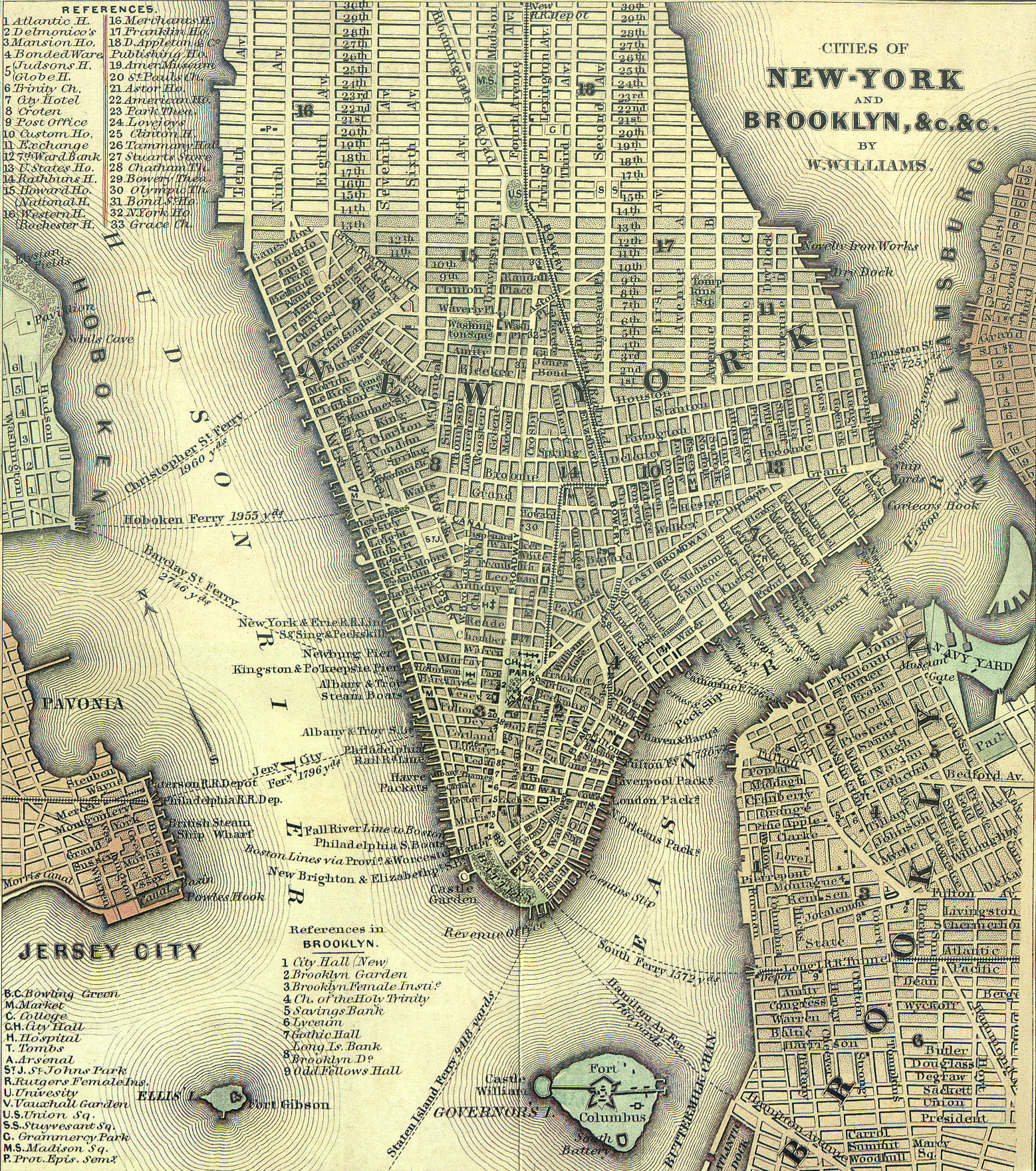
Cities of New-York and Brooklyn, W. Williams - 1847
Map of Lower Manhattan drawn and engraved by William Williams, copyright 1847. Original title: Cities of New-York and Brooklyn, &c.&c., reproduced in Twelve Historical New York City Street and Transit Maps from 1860 to 1967 by John Landers. Source: Collections of the New-York Historical Society.
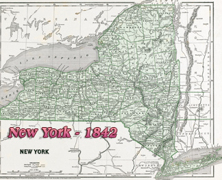
William Williams (1787-1850), Utica - N.Y., also published the Traveller's Pocket Map of New York, 1826, and the Tourist's Map of the State of New York, compiled from the latest authorities in the Surveyor General's office, 1831.
The Bloomingdale Road, indicated north of Union Square, was created in 1703 and renamed Broadway in 1899. Fourth Avenue, north of Union Square was renamed Park Avenue South in 1959.

|
Copyright © Geographic Guide - Historic Map 19th Century NYC. |
Cities of New-York and Brooklyn, W. Williams - 1847