City of New York, Panorama in the 1880s
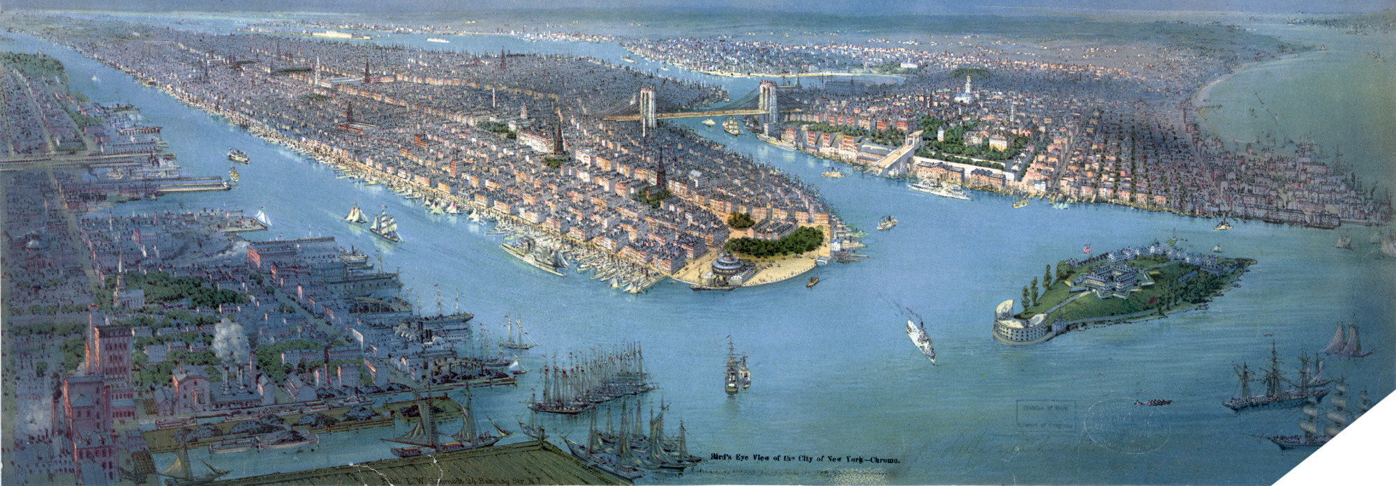
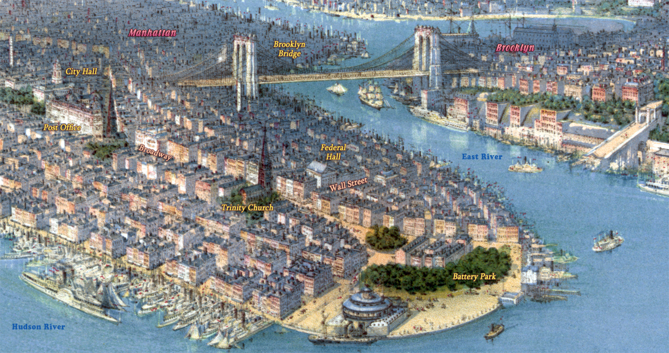
Illustration showing a bird's-eye view of New York City with the Hudson River and the New Jersey waterfront on the left, New York Harbor and Governors Island in the right foreground, Battery Park, Manhattan, the East River, Brooklyn Bridge (which opened to traffic in 1883), and the borough of Brooklyn at center.
Contributor: L.W. Schmidt (Firm). Published (chromolithograph) by L.W. Schmidt 24 Barclay Str., N.Y. [188-]. Source: Library of Congress Prints and Photographs Division. Below, enlargement of part of Downtown Manhattan.
More: Maps of NYC - 19th Century ►


More: Historical maps of New York City ►
Bowling Green
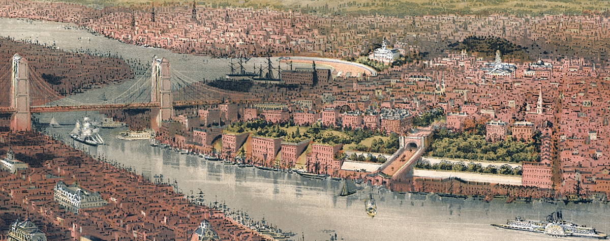
Brooklyn - 1874. Part of the Panorama of New York City by John Bachmann.

|
Copyright © Geographic Guide - 19th Century NYC. |
City of New York, Panorama in the 1880s
