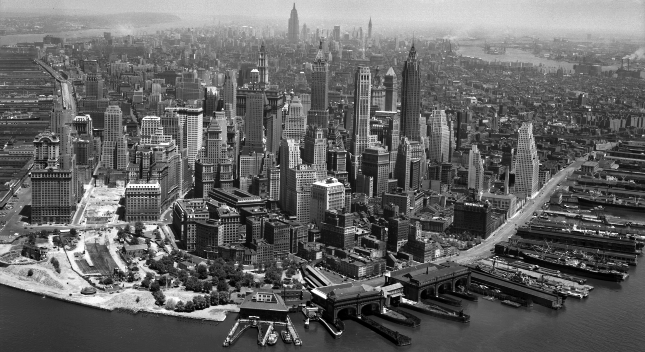
Aerial photo of the
Southern Tip of Manhattan Island, in New York City, looking north from the Upper
Bay. Dated July 4, 1947. Source: New York State Archives, Aerial
photographic prints and negatives of New York State sites.
Aerial photo of the
Southern Tip of Manhattan Island, in New York City, looking north from the Upper
Bay. Dated July 4, 1947. Source: New York State Archives, Aerial
photographic prints and negatives of New York State sites.
Photograph shows numerous skyscrapers, including in the Canyon of Heroes (Broadway) and the Empire State Building in the distance. Piers can be seen, the Battery is to the left, and the Hudson and East rivers are visible in the distance.
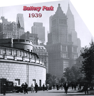
The buildings between Washington and Greenwich streets were demolished to make way for the Brooklyn–Battery Tunnel entrance (see picture on the right), which officially opened on May 25, 1950. In the same year, the elevated lines to South Ferry were closed.