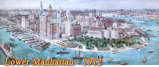
Lower Manhattan


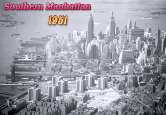
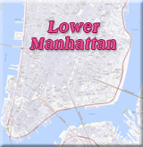
Lower Manhattan is the southernmost part of the Manhattan Island, generally considered to be the area south of 14th Street. The area surrounding Southern Manhattan is a strategic natural port and includes the Financial District of New York City. The streets, buildings, parks and waterfront of Lower Manhattan have more historical significance than a dozen museums.
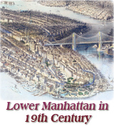
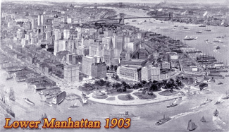
The first settlement of Europeans on Manhattan was established on the southern tip of the island, in the early 17th century. Most Manhattan residents still lived south of the Common (now City Hall Park) until the late 18th century. Its meandering streets are historical records of that time.

More: Skylines and Aerial Views of Manhattan


Lower Broadway


Manhattan


New York City


New Amsterdam


Southern Tip Manhattan


Lower Manhattan


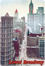
Lower Broadway in the early 20th century, looking north from Ann Street. Vintage postcard by Raphael Tuck & Sons.


20th century


More of Lower Manhattan:

Battery

Broad Street

Bowling Green

City Hall Park

Civic Center

Lower Broadway

Park Row

Printing House Square

Southern Tip

Wall Street


Fort Nieuw Amsterdam Manhatans


Canyon of Heroes


NYC Southern Manhattan


Governors Island


NYC Southern Manhattan


Skyscrapers


Tip Manhattan


Lower Manhattan aerial photo


Lower Manhattan


New York Harbor


Lower Broadway


Old New York City


Manhattan


Manhattan 19th century


Manhattan skyline


Old Tribeca


New York City old


Southern Manhattan


Park Row NY


Downtown New York City


Map Lower Manhattan


Lower New York


Financial District


Old Skyscrapers Lower Manhattan


Civic Center New York


Hudson River


NYC Lower Broadway


Southern Manhattan


Manhattan 2001


Lower Manhattan


NYC 20th Century


Lower Broadway NYC


New York City


Lower Manhattan, looking south from the Empire State Building, after 2014. Credit: Julienne Schaer/NYC Tourism + Conventions.


Canyon of Heroes


Tribeca old NY


Post Office Building

Part of the Joshua Beals Panorama, from the Western Union Building on Broadway, to Tribune Building at Printing House Square, seen from East River.


New York City


Blimps Lower Manhattan


Midtown Manhattan


Lower Manhattan NYC


City New York


New York City Waterfront


Downtown Manhattan


New York 18th Century


Copyright © Geographic Guide - Old Manhattan NYC.


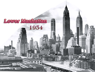
Lower Manhattan Fifties


Park Row 20th century


Lower NYC


Bird's Eye View


Southern Manhattan


Skyscrapers NYC


NYC


NYC


Lower Manhattan


Lower Manhattan


WTC


Delmonico’s