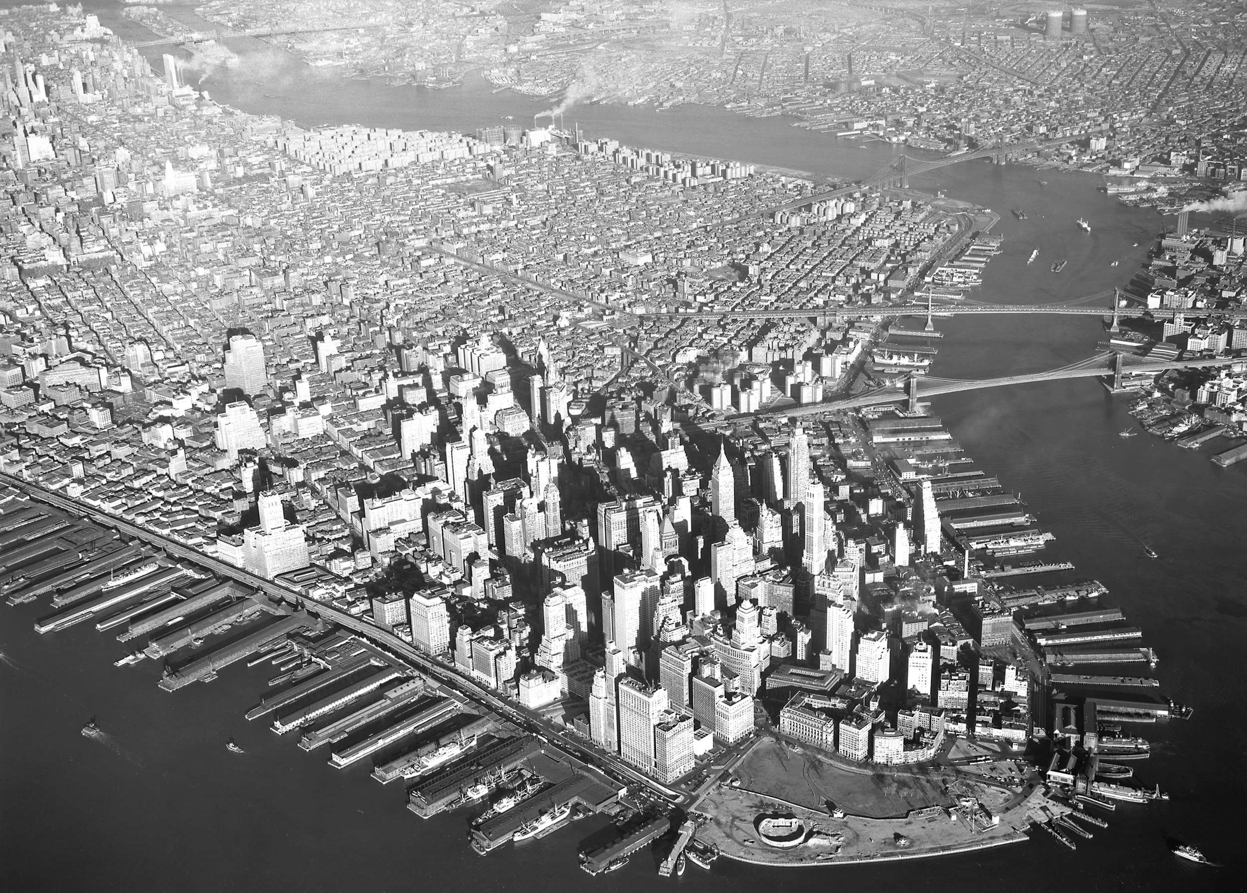
Downtown Manhattan, Aerial Photo - 1951
Aerial photo of Downtown Manhattan dated November 27, 1951. Fairchild Aerial Surveys, inc. Source: New York State Archives.
The Brooklyn bridge and the Manhattan Bridge, over the East River, are visible on the right. The Castle Clinton National Monument is visible (the almost circular shape on the southern tip of Manhattan). The Roosevelt Island and Queensboro Bridge are seen on the top of the image. Old piers are at the bottom of the photo. the Brooklyn–Battery Tunnel entrance, between Washington and Greenwich streets, officially opened on May 25, 1950. The Battery was renovated later in the 1950s.


|
Copyright © Geographic Guide - 20th Century NYC Skyscrapers. |
Downtown Manhattan, Aerial Photo - 1951