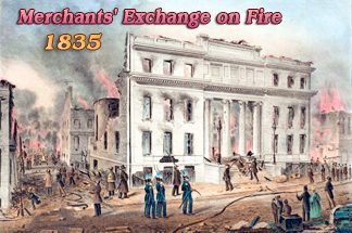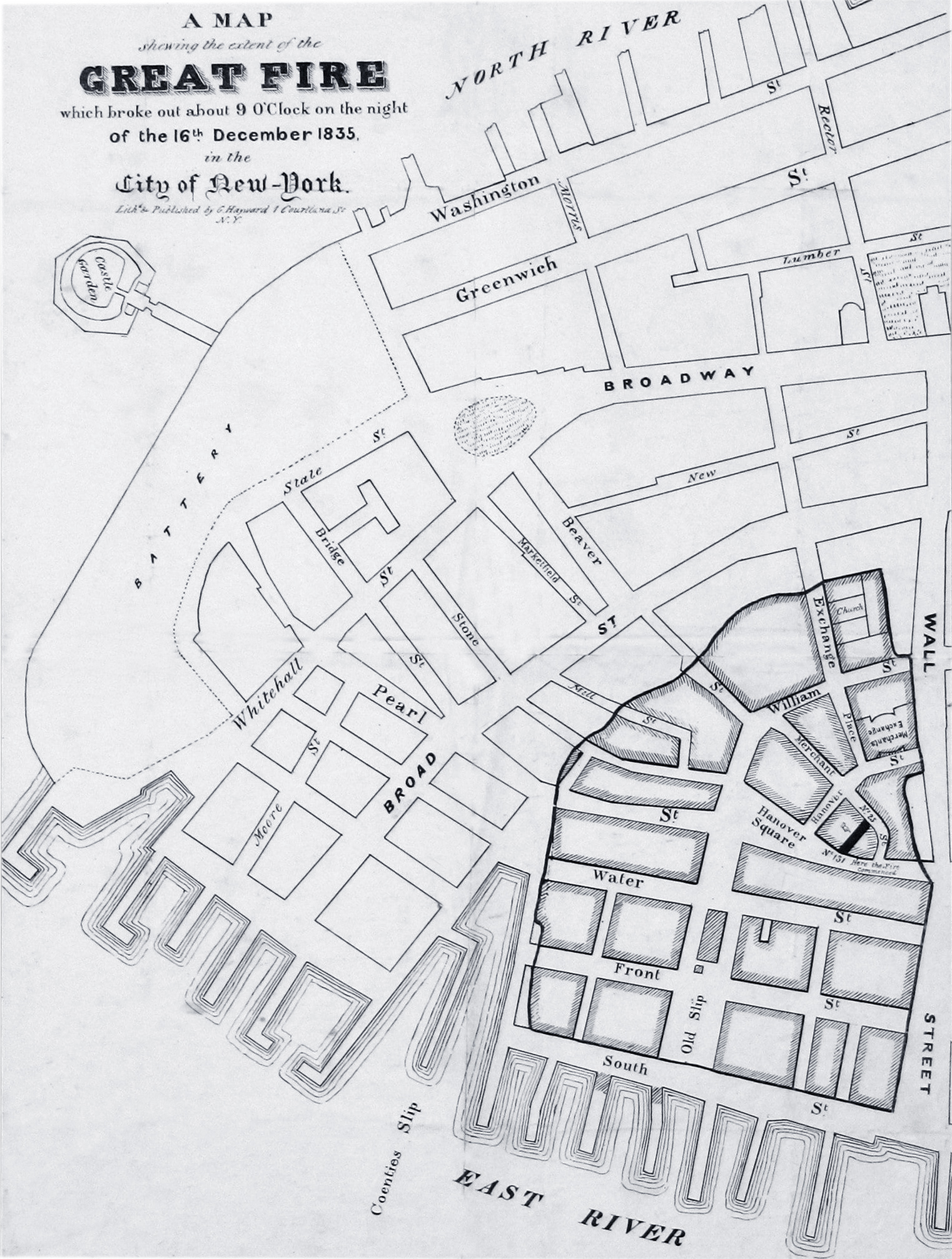
Map of the Great Fire of New York City in 1835
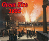
A MAP showing the extent of the GREAT FIRE which broke out about 9 o'clock on the night of the 16th December 1835, in the City of New-York. It indicates the place where the fire broke out: a warehouse at 25 Merchant (now Beaver) Street, just south of Wall Street.
Lithographed & published by George Hayward, 1 Courtland St., New York, ca. early 1836. Source: Boston Rare Maps.
More: Map of the Great Fire of 1776 ►
Showing Fraunces Tavern.
|
Copyright © Geographic Guide - Old maps NYC. 19th Century. |