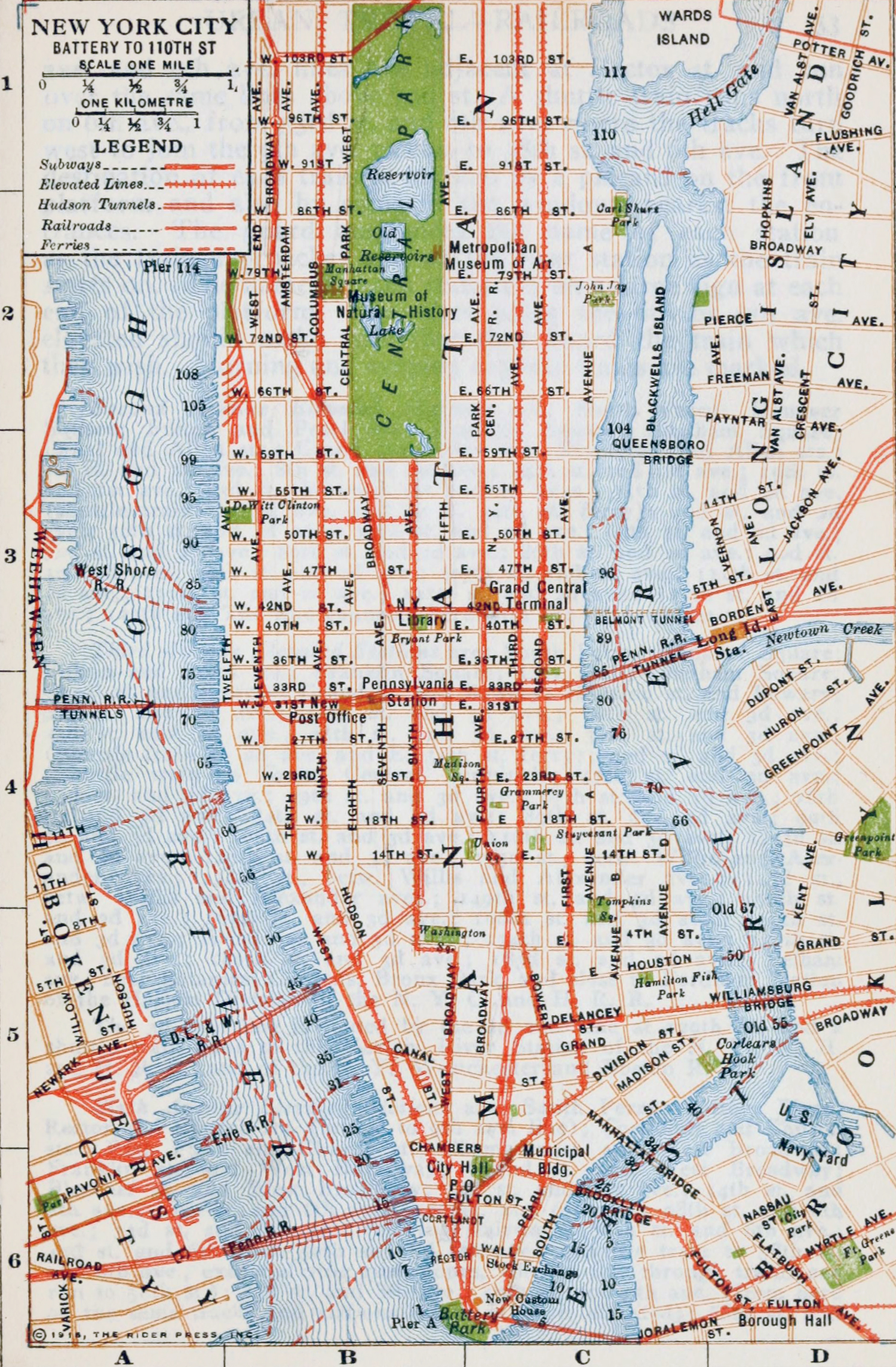
Map of Manhattan - 1915
Map of Manhattan from the Rider's New York city and vicinity, including Newark, Yonkers and Jersey City - a Guide-Book for Travelers, with 16 maps and 18 plans., compiled and edited by Fremont Rider (1885-1962). Published New York by Henry Holt and Company, 1916 by Rider Press. Map copyright 1915.
Map shows features from Battery Park to 104th Street Street in the north. It includes streets, piers on the waterfronts, main transport lines and parks, including Central Park.
Some text from the Guide's Introduction:
«There seems little doubt that the City of New York and its environs has become within the last decade actually the greatest urban plexus in the world, wresting premier position in this respect from London. The population of greater London (including all the suburbs which are separate administrative entities but within the Metropolitan Police District) was in 1915 estimated at 7,200,000. Jersey City, Hoboken and the other New Jersey cities within the New York urban area on the west, as well as Yonkers, Mt. Vernon, New Rochelle, etc., on the north, although politically detached, all go to make up the "city" of New York in the larger sense, their political detachment being in a certain sense accidental. Including these the population of the New York area corresponding to the Metropolitan London area was 7,500,000. The population of New York City proper was, in 1915, 5,585,772. The London area comparable with this, viz. the administrative City of London governed by the London County Council had, in 1911, a population of 4,522,964, and it is probable that this area has since shown little or no increase.»
More: Historical maps of NYC ►

|
Copyright © Geographic Guide - 20th Century, Cartography, Old Maps NYC. |

Map of Manhattan - 1915