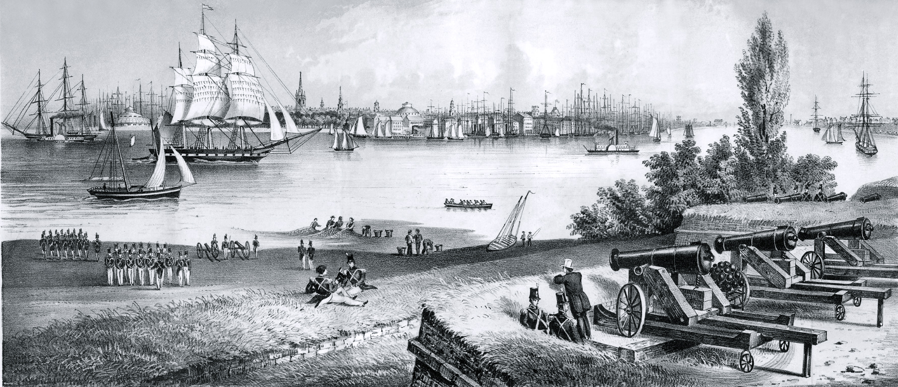
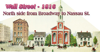
Manhattan from Fort Columbus, Governors Island - 1816
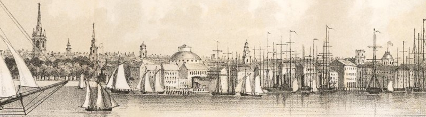
Original title: New-York. Taken from Fort Columbus, Governors Island. 1816. Lithograph by Geo. Hayward for D.T. Valentine's Manual, for 1860. Below, enlargements of the skyline of New York City.
The Fort Columbus, in the foreground, represented with fisherman, soldiers and cannons, is located near the center of Governors Island. It was built in 1794 as Fort Jay. In the early 19th century, it was reconstructed and renamed it Fort Columbus. In 1904, it was renamed to the previous name: Fort Jay.
An early steam paddle wheel ship is represented on the left.
|
Copyright © Geographic Guide - NYC in the Nineteenth Century. Manhattan Tip. |
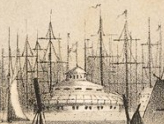
Enlargement of the southern tip of Manhattan Island.
The depicted skyline of the New York City shows the church spires as the tallest structures. The Gothic Trinity Church was the tallest structure in New York City from 1846, when it was dedicated, until 1888, when it was surpassed by the spires of St. Patrick's Cathedral.

◄ Trinity Church, second temple completed in 1790 and demolished in 1839.
Manhattan from Fort Columbus, Governors Island - 1816