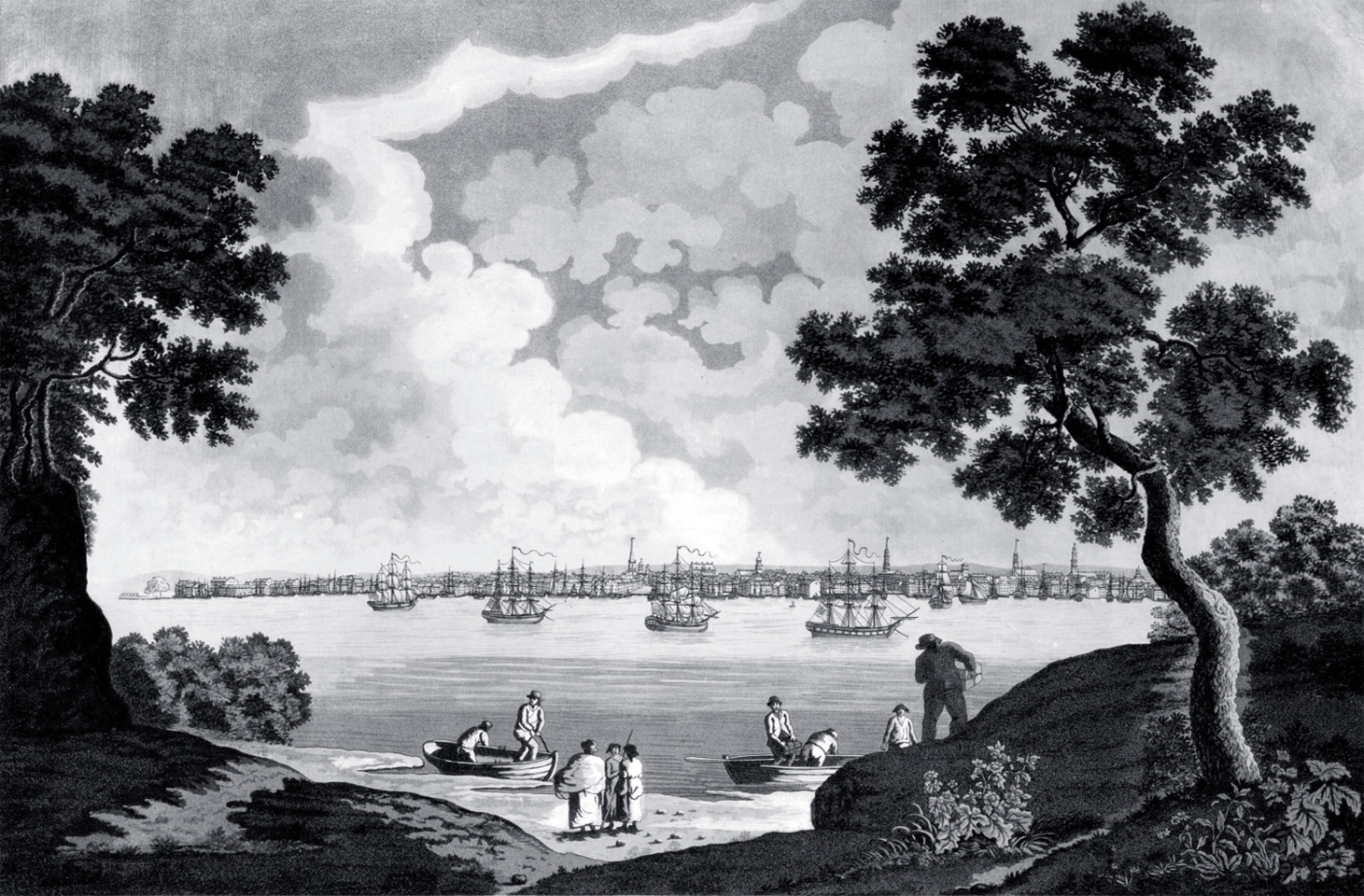
New York from Long Island - circa 1800
Illustration (to the right) drawn by John Wood around 1800, showing a scene on the coast of Long Island (Brooklyn) with New York City in the background. Engraved by W. Rollinfon. Source: Barry Lawrence Ruderman Antique Maps Inc.
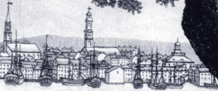
The skyline of Manhattan is shown across the East River, from the Battery to about Chambers Street. We can see the towers of Trinity Church, First Presbyterian Church, Federal Hall, Middle Dutch Church with its clock tower, St. Paul's Chapel dwarfs the square tower of the North Dutch Church, the Brick Presbyterian Church and, on the far right, St. George's Church.
John Wood was born in Scotland in 1775 and arrived in the United States around the turn of the 19th century. He was a teacher, author, map maker and bookseller. Around 1810, he moved to Virginia and was made the official cartographer of the state.

|
Copyright © Geographic Guide - Old skylines of NYC. Historic Buildings. |

Church spires in the central part of the New York skyline.

Enlargement of part of the New York skyline on the extreme right.
Enlargement of part of the New York skyline on the left.
Middle Dutch Church
Trinity Church
New York from Long Island - circa 1800

St. George Church
East River

St. Paul's Chapel
Brick Church