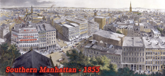
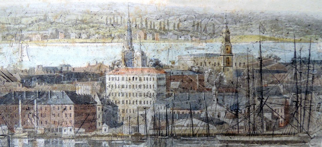
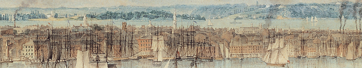
New York from Brooklyn Heights - about 1836
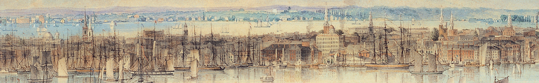
Illustration drawn in the first half of the 19th century, about 1836, by John William Hill (1812-1879), engraved by William James Bennett (1787−1844) and published by Lewis P Clover, New York, in 1837, as part of a series of views of American cities. Source: Barry Lawrence Ruderman Antique Maps Inc. Below, enlargements of the skyline of Manhattan of another copy from Thyssen-Bornemisza National Museum in Madrid.
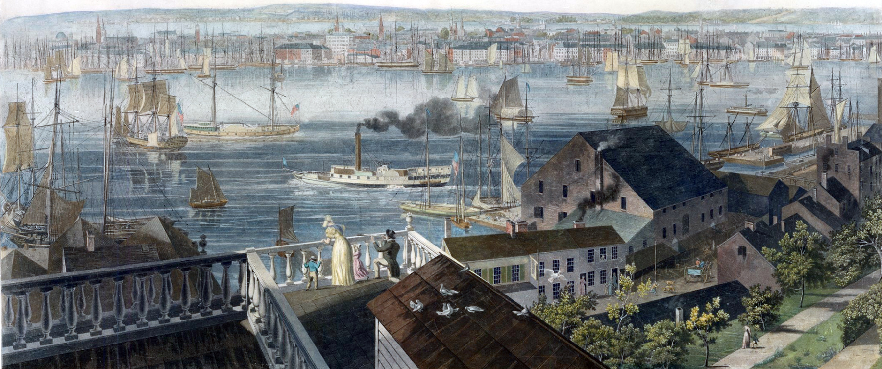
This view was taken from Brooklyn Heights, after the Great Fire of 1835. It shows the lower part of Manhattan, in the background, including the domed building of the Merchant's Exchange, Trinity Church, the City Hall's tower, among other buildings. A steamboat navigates East River, a means of transportation that became popular in the following decades. In the foreground, the warehouses flanking Furman Street along the East River. In 1834 Brooklyn had received its city charter, opening the borough to real estate speculation.
|
Copyright © Geographic Guide - NYC and Brooklyn in the 19th century. |
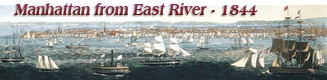


East River
Below, an enlargement of another copy from the Graphic Arts Collection of Princeton University, showing Holt's Hotel (corner of Fulton and Water Street) in the center.
New York from Brooklyn Heights - about 1836
Hudson River