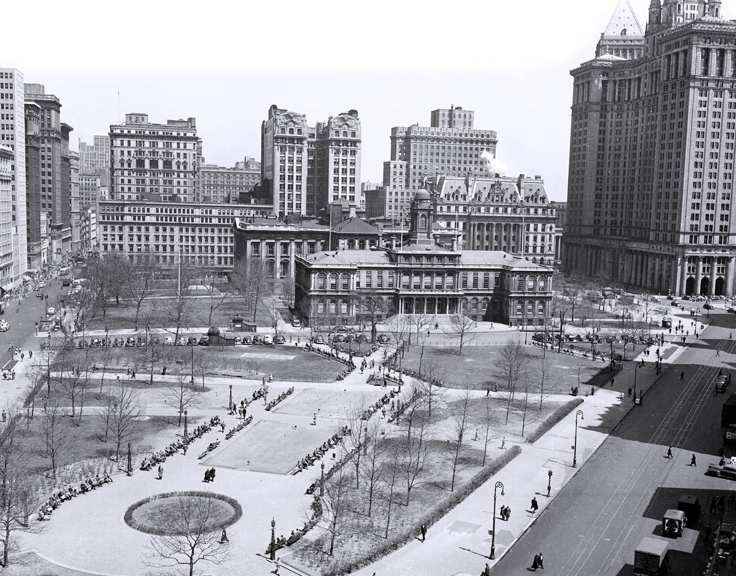
City Hall Park, New York City - 1950
City Hall Park, City Hall, Municipal Building, Surrogate’s Courthouse (former Hall of Records) in the Civic Center. High view looking north from Park Row, 1950. Source: Department of Public Works Collection. NYC Municipal Archives.
In 1962, a Civic Center Master Plan was released with a full-scale press conference. The Plan would radically transform City Hall Park and the blocks between Broadway and Lafayette Street, from Chambers Street north to Worth Street. The New York Herald Tribune described the new Civic Center as “…a sort of Rockefeller Center downtown, only much more so in expanse and open welcome to the pedestrian.” It was never implemented.

|
Copyright © Geographic Guide - 20th Century Aerial Photos of NYC. |
City Hall Park, New York City - 1950
