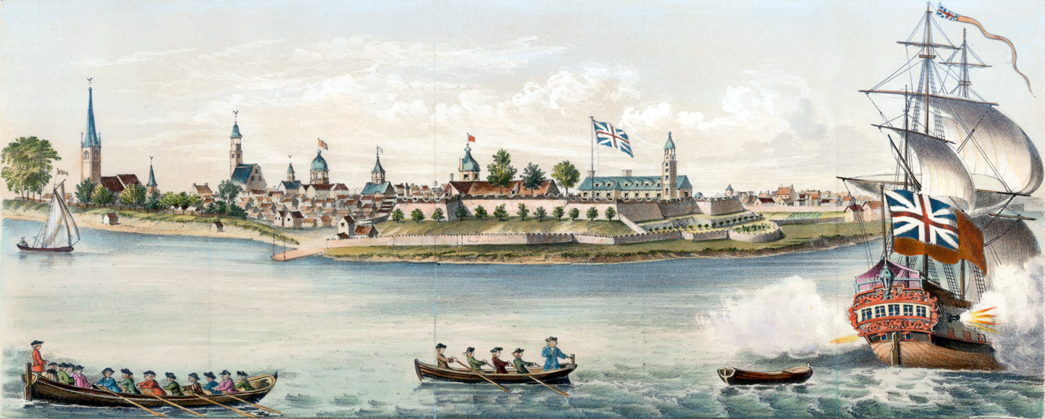
View of Fort George with the City of New York
Original title: A View of Fort George with the City of New York from the S.W. (dated 1740 on the print). Hudson River is in the foreground. An early version of this illustration was published about 1736 (see enlargement below). Year depicted between 1731 and 1736. The hand colored image above was originally published in the 18th century and reprinted for the D.T. Valentine's Manual for 1858.
At the time, New York ranked as the third largest city in the British colonies in North America, being exceeded in size by both Boston and Philadelphia. In 1732, the estimated number of inhabitants of New York was only 8,624.
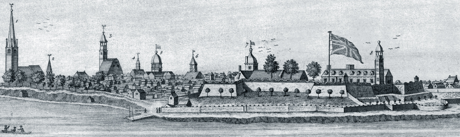
Below, enlargement of the central part of the image engraved by John Carwitham (1736). The buildings are numbered from one (first temple of Trinity Church) to eight (Church in the fort). Source: Library of Congress Prints and Photographs Division.
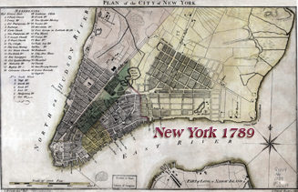
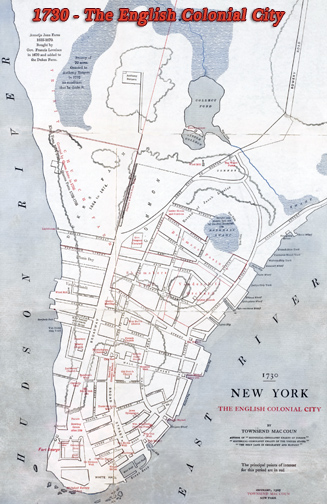
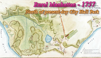
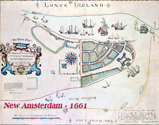
More: Historical maps of New York City ►
|
Copyright © Geographic Guide - 18th Century NYC. |


8 - Church in the fort

Year depicted between 1731 and 1736
6 - Old Dutch Church on Garden Street
1 - Trinity Church
5 - City Hall
View of Fort George with the City of New York
3 - New Dutch Church
7 - Secretary's Office
4 - French Église du Saint Esprit
2 - Lutheran Church