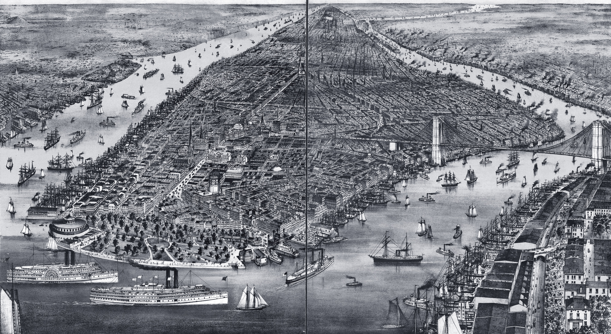
New York, Panorama of the City - 1889
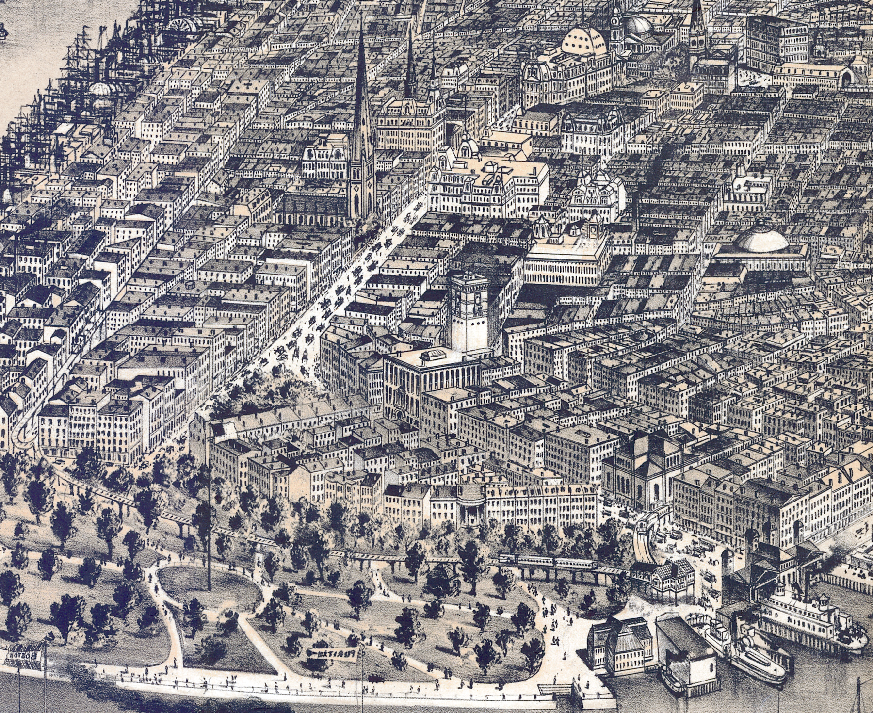
Panoramic illustration of the City of New York not drawn to scale. Shows points of interest, including the Brooklyn Bridge, Post Office, City Hall, Battery Park and more. It is similar to other maps published in 1876, 1884 and 1886 and although with some changes. The lower part is enlarged below.
Contributors: Parsons & Atwater, Currier & Ives. Published by Currier & Ives, New York, ©1889. Source: Library of Congress Geography and Map Division.
More: Historical maps of New York City ►


New York, Panorama of the City - 1889
|
Copyright © Geographic Guide - 19th Century NYC. Historical Maps. |
