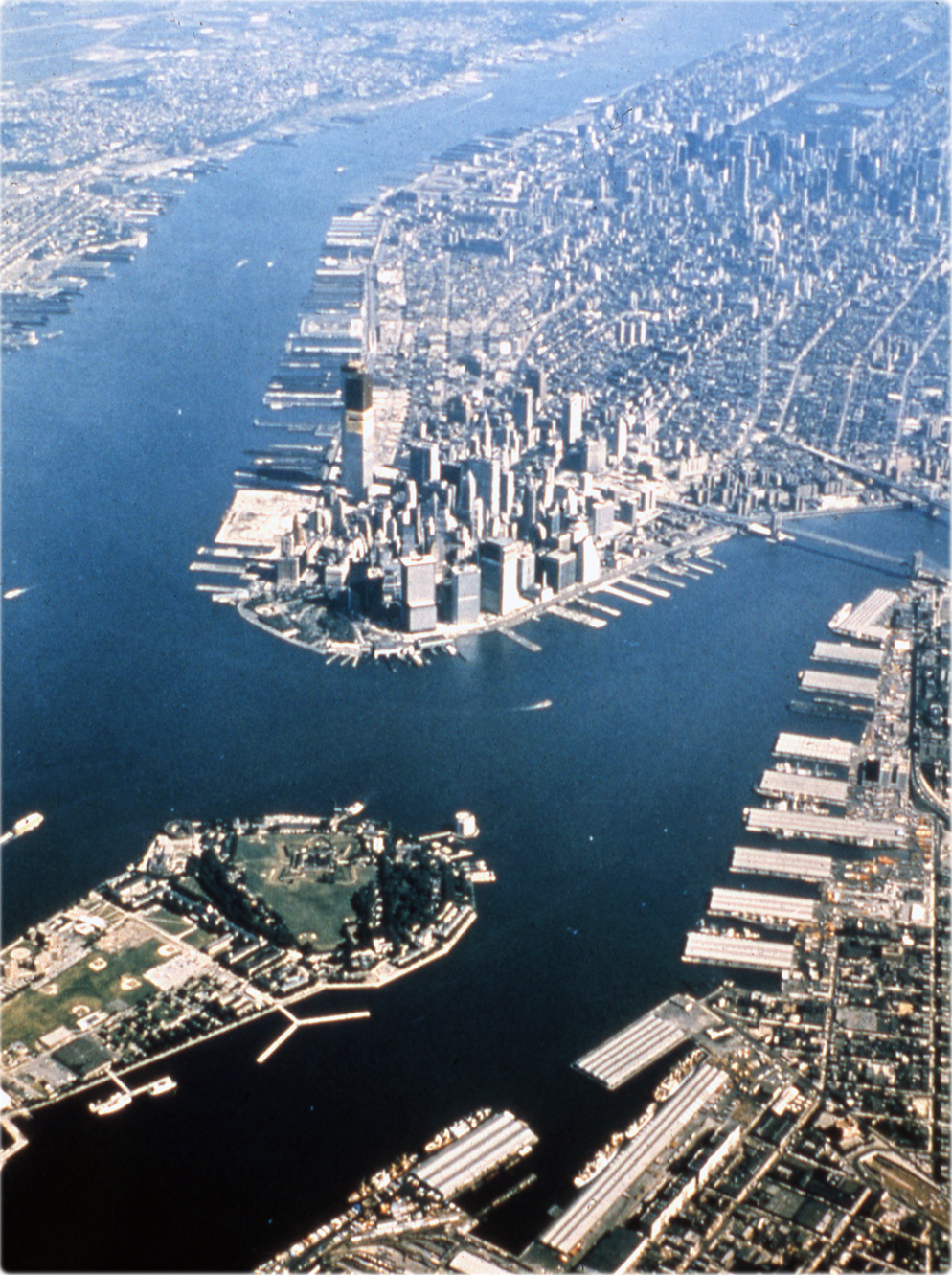
Aerial View of New York City - about 1970
Aerial photograph of the City of New York, about 1970, seen Southern Manhattan, part of Brooklyn, on the right, part of Governors Island and Jersey City, on the left. Source: New York State Archives, Dept. of Economic Development. Bureau of Media Services.
The year this photo was taken can be estimated by the Twin Towers that can be seen under construction. They were built between 1966 and 1973. In the photo, it appears that the two towers were erected to the top, although unfinished, which occurred in the early 1971.
The Financial District of Lower Manhattan is bounded by the West Side Highway on the west, Chambers Street and City Hall Park on the north, Brooklyn Bridge on the northeast, the East River to the southeast, and South Ferry and the Battery on the south.

|
Copyright © Geographic Guide - Antique photographs of NYC. |

Aerial View of New York City - about 1970
Governors Island