
Lower Manhattan Aerial Image
Aerial image of Lower Manhattan, New York County, a natural deep water port. Source: USGS National Map, orthoimagery, data refreshed December, 2021.
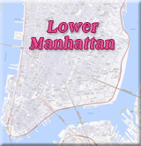
Southernmost part of Manhattan Island, Downtown New York City, Financial District, Tribeca (triangle below Canal Street) and Two Bridges. East River, Brooklyn Bridge and Manhattan Bridge. Manhattan's lower tip is Battery Park, seen on the left.
◄ Maps NYC






Lower Manhattan Aerial Image
|
Copyright © Geographic Guide - Travel New York City. Maps of USA. |