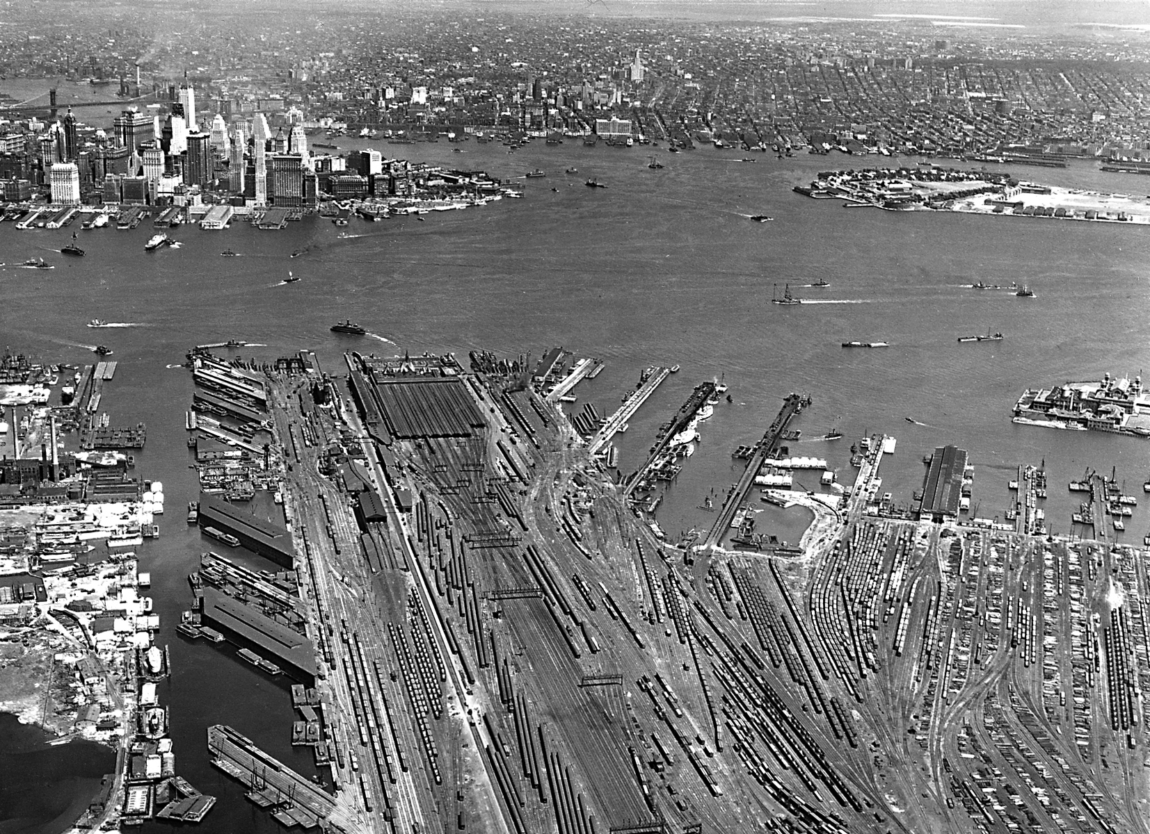
Aerial View East across Upper Bay, New York City - 1930
Aerial view east across Upper Bay from New Jersey to New York City. Photograph taken in 1930 by Fairchild Aerial Surveys, Inc. In the foreground, trains are parked on the tracks at the Central Railroad of New Jersey's railroad yards. The view also includes the Hudson River, the Lower End of Manhattan, the East River, Brooklyn, Governors Island, and Ellis Island. Source: New York State Archives. Education Department Division of Visual Instruction.
The North River and the East River converge here and flow to the Atlantic Ocean. New York City became a great metropolis with some of the tallest skyscrapers in the world, along with them developed public buildings, railways, tunnels, bridges, parks, piers, ferries and the vast and intricate affairs connected with a great metropolis.
More: Maps of NYC - 20th Century ►

|
Copyright © Geographic Guide - 20th Century NYC. |
Aerial View East across Upper Bay, New York City - 1930
