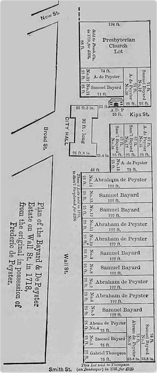
Map of Wall Street in 1718
The map on the right was published in the Real Estate Record and Builders Guide, April 27, 1889 (source: Columbia University Libraries Digital Collections), under the title: Wall Street and the Value of Property.
Text on print: Plan of the Bayard & De Peyster Estate on Wall St. in 1718, from the original in possession of Frederic de Peyster.
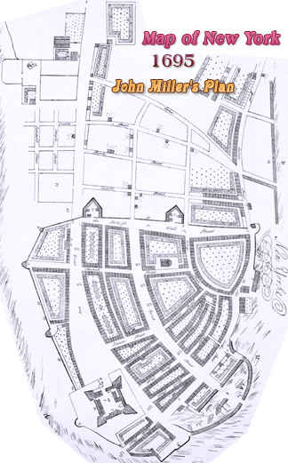
In August, 1694, Mayor De Peyster proposed "the Selling of the Vacant Lotts beginning att the West Side of the Wall Street, and running to the Extent of Castor Luersons Ground" for the payment of the city debt. The Common Council approved. Many properties on the north side of Wall Street (where the City Wall stood until the late 17th century) belonged to De Peyster family.
More: Wall Street in 18th century ►


Map of Wall Street in 1718
|
Copyright © Geographic Guide - Historical maps of NYC. |