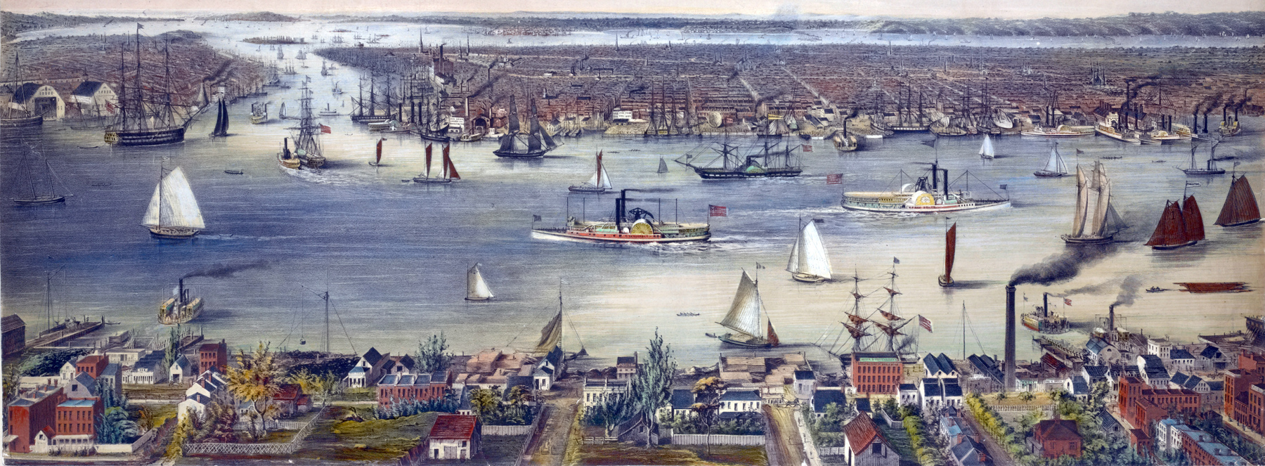
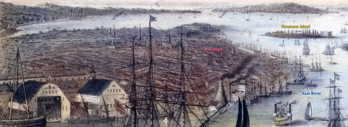
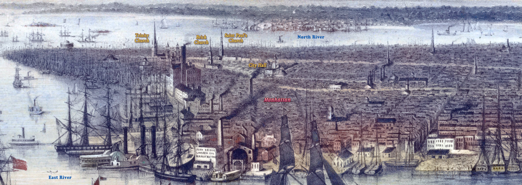
New York, East River from Williamsburg - 1848
Original title: New-York and Environs, from Williamsburg. The East River and waterfronts are the main features. Manhattan is on the right, Brooklyn is on the left and Williamsburg is in the foreground. Despite its name, the East River is actually a tidal strait.
Illustration drawn from nature and lithographed by E. W. Foreman and E. Brown Jr. Printed by Sarony & Major. Published by Williams & Stevens and Ackermann & Co. Enlargements below.
After the 1830s, the garment industry became the New York City’s largest industry. There were both changes in demand and production technology that turned the City into a center of ready-to-wear clothes. Mechanization greatly decreased the costs of mass production relative to custom tailoring.
|
Copyright © Geographic Guide - Waterfront 19th Century NYC. |

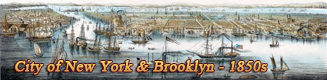
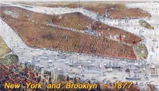
More: Historical maps of New York City ►
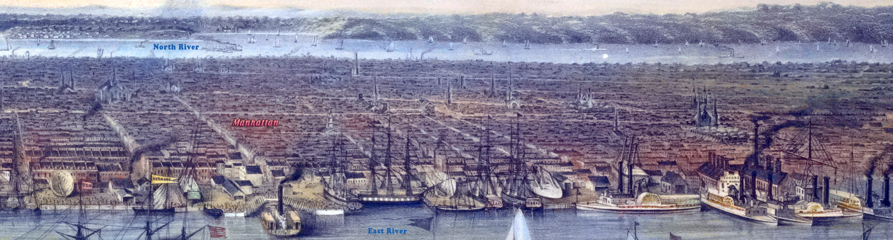

New York, East River from Williamsburg - 1848