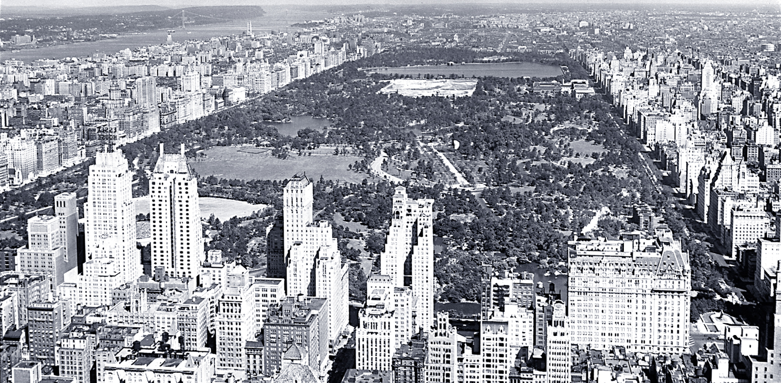
Aerial Photograph of Central Park - 1933
Aerial view of Central Park in New York City. The view looks north up the length of the park and includes the Hudson River on the left, buildings and skyscrapers surrounding the park, and lakes, roads, and paths in the park. Grand Army Plaza is to the right and 59th Street borders Central Park. Hampshire House, next to Essex House, was unfinished since 1931. Its construction was completed in 1938. Photograph taken in 1933 by Fairchild Aerial Surveys, Inc. Source: New York State Archives. Education Dept. Division of Visual Instruction.
Located in what is now the center of Manhattan, the site was far from the built-up areas of the City when planning for the Park began in the 1850s. Sparsely populated, it was home to small farms, industrial uses, and dwellings scattered between areas of marshland and rocky hills. More: Map of Central Park ►

|
Copyright © Geographic Guide - 20th Century NYC. |

Aerial Photograph of Central Park - 1933