59th Street in Manhattan
The 59th Street crosses Manhattan Island, from the Hudson River side to the East River side. It is divided by Fifth Avenue, into West 59th Street and East 59th Street. It was created under the Commissioners' Plan of 1811. The East 59th Street leads to Queensboro Bridge, opened in 1909, providing access to the borough of Queens.
The three-block section, between Columbus Circle and Grand Army Plaza, bordering Central Park, is also known as Central Park South. This name for this section of the West 59th Street was adopted on March 3, 1896, when the Committee on Streets reported favorably the resolution changing the name, during a meeting of the Board of Aldermen. Until about the 1870s, this section was mostly residential. Large hotels and apartment houses were built in the following decades, like the old Plaza Hotel, constructed from 1883 to 1890, and the Navarro Flats, constructed from 1883 to 1888. The New York Athletic Club moved to corner of Sixth Avenue in 1898.
The old Hotel Savoy opened in 1892 on Fifth Avenue, on the southeast corner of East 59th Street, and the Hotel Netherland opened in 1893, across on the northeast corner.

|
Copyright © Geographic Guide - Historic places in NYC. |
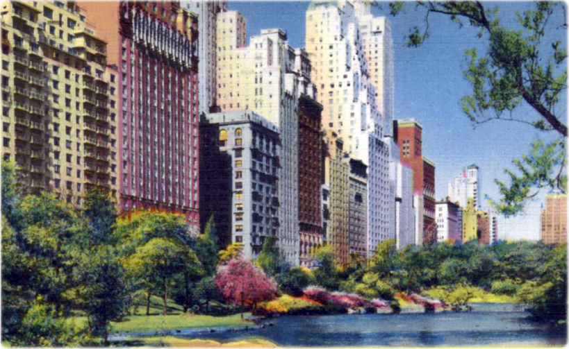
Buildings along Central Park South, part of the 59th Street, seen from Central Park. Vintage postcard, postmark 1953, showing some apartments hotels overlooking Central Park (Acacia Card Company, photo by Ewing Galloway).
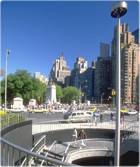
Buildings in Central Park South, in the background, seen from Columbus Circle (entrance to Subway station), about the 1990s. The Merchant’s Gate in Central Park is on the left.


Midtown skyscrapers of Manhattan, looking south from Central Park. Photograph taken in January 1931, Hampshire House was under construction (vintage postcard, W.M. Frange / Manhattan Post Card Publishing Co.).
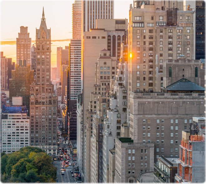
Buildings at 59th Street, looking east in 2016. The Sherry-Netherland is on the northeast corner of Fifth Avenue (credit: J. Schaer / NYC & Company).
59th Street in Manhattan
Vintage Images
