New York City in the 19th Century - Published in 1883
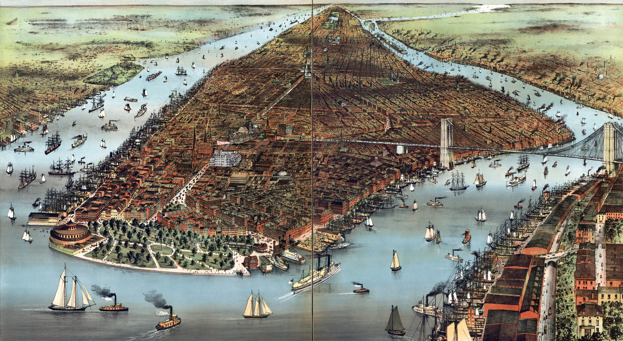
Title: The City of New York - Showing the Building of The Equitable Life Assurance Society of the United States, a pioneering early skyscraper in New York. Note: Brooklyn Bridge opened to traffic in that year of 1883. Manhattan and Battery Park in the foreground and center, and Brooklyn to the East. Illustration published in 1883 (Currier & Ives N.Y.). Source: Library of Congress Geography and Map Division Washington, D.C.
In this year, the Jerome residence, at the southeast corner of Madison Avenue and 26th Street, was occupied by the Madison Club. The American Art Association was formed for “the encouragement and promotion of American art".
More: Historical maps of New York City ►


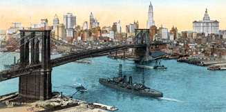
Brooklyn Bridge and New York City skyline (1915).
State of


New York City in the 19th Century - Published in 1883


|
Copyright © Geographic Guide - 19th Century NYC. Maps of Big American Cities, |